




By Tracy Turner
Ohio State University
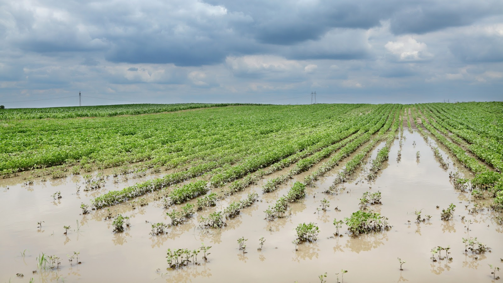
COLUMBUS — Ohio is approaching one of its wettest Augusts on record after repeated storms flooded fields, flattened crops, damaged barns and caused livestock losses across parts of the state.
Through Aug. 18, Ohio had received a statewide average of approximately 6.15 inches of rain, making this the fourth-wettest August since recordkeeping began in 1895, with nearly two weeks remaining. The record is 6.77 inches, set in 1979 and 1980.
The extreme conditions are prompting experts with Ohio State University College of Food, Agricultural and Environmental Sciences (CFAES) to urge farmers to assess damage, monitor crop recovery and prepare for possible harvest problems.
Perry, Morgan, Muskingum and Fairfield counties were among the areas hardest hit by flooding. New Lexington officially recorded more than 12 inches of rain this month, while unofficial measurements approached 15 inches near Crooksville and Roseville, according to Aaron Wilson, Ohio’s state climatologist and an agricultural weather and climate field specialist with CFAES and Ohio State University Extension, the college’s outreach arm.
Record August rainfall totals also were reported in Dayton, Greenville, Bellefontaine and Oxford. Six tornadoes have been confirmed, including an EF2 tornado near Catawba in Clark County with estimated winds of 115 mph.
The storms developed as a persistent high-pressure system over the south-central United States held the jet stream over the Ohio Valley, Wilson said. That pattern allowed repeated weather disturbances carrying moisture from the Gulf to move across Ohio, producing heavy rain, tornadoes and straight-line winds.
Additional rainfall could quickly renew flooding in saturated areas.
“It will not take much for standing water and flooding to resume in these saturated areas,” Wilson said.
For farmers, the extent of crop losses will depend largely on how long fields remain flooded, said Alex Lindsey, professor of crop ecophysiology and agronomy in the CFAES Department of Horticulture and Crop Science.
Soybeans, which are largely in the pod and seed-filling stages, are generally more vulnerable than corn at this point in the growing season. Flooding lasting four days or longer is expected to cause greater yield losses, Lindsey said.
“Farmers should inspect affected fields about a week after flooding begins, checking for lodged plants, sediment on leaves and areas that remain saturated,” Lindsey said. “They also should document damage and consult their crop insurance agents.”
Lodged corn may create additional concerns during harvest. Plants are unlikely to return to an upright position, increasing the likelihood of ear and grain losses. Reduced airflow around ears near the ground also could slow drying and increase the risk of disease or soil contamination.
“Fields that experienced sustained flooding may need to be harvested earlier because oxygen-deprived conditions and disease can weaken root systems, making plants more likely to lodge after maturity,” Lindsey said.
Farmers entering damaged areas should remain alert for contaminated floodwater, debris, unstable structures and electrical hazards. Additional recovery resources are available through the Extension Disaster Education Network.
Farmers seeking more information about Ohio’s changing weather patterns and their effects on agriculture can hear from Wilson during Farm Science Review, Sept. 22-24 at the Molly Caren Agricultural Center near London, Ohio.
Wilson will discuss the weather and climate conditions affecting Ohio farms during the Ask the Experts panels at FSR, CFAES’ annual agricultural event featuring field demonstrations and educational sessions. The panels address current agricultural issues and include questions from attendees. They will be held at Exhibit Area 425, at the corner of Kottman and Friday avenues across from the Firebaugh Building.