Whether you own a piece of land, or are looking to develop one, and are planning construction and/or excavation, make sure you do your due diligence in obtaining all proper permits — local, state and federal — before breaking any ground.
Local entities involved in the permitting process can include your local township zoning and your county building inspection.
In Mahoning County, one must obtain an SWP3 if any earth disturbance is over an acre. Should sensitive areas be located on the property, it would behoove the landowner to have a wetland delineation performed prior to any excavation. This lets the land owner/contractor know exactly where the boundaries of the sensitive areas are in order to save a potential headache and litigation down the road.
Riparian buffer
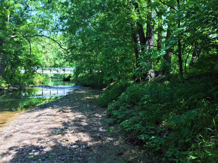
Check with your local zoning to see if there are any local ordinances citing “riparian setback” buffers you should be aware of. Your local SWCD can assist you in identifying any general sensitive areas or “blue line streams” and potential riparian buffers.
Riparian buffer width or setback will depend upon the size of the watershed your stream serves. Be aware that a “blue line stream” is permitted to be maintained by the landowner using what the USACE deems as a “one scoop” method. The United States Army Corp is the governing body for the contiguous waters of the state.
This one-scoop method basically means dredging the stream channel of sediment, which is to be placed in an upland area out the flood zone or high water mark of the stream.
When performing this maintenance, it’s important to note that one cannot alter, change, deepen or widen the stream channel itself from its original shape.
The Environmental Protection Agency is the governing entity for any isolated sensitive areas. The USACE and EPA, however, will work hand in hand on a number of projects delegating outcomes and decisions.
An SWP3, or Storm Water Pollution Prevention Plan, is a document that will outline how the project will minimize stormwater runoff. Stormwater can carry contaminants such as sediments, chemicals and debris over impermeable surfaces. An SWP3 can be mandated based on local, state, and federal regulations.
Be sure to check all three governmental levels for proper permitting. A local permit acquired may not be sufficient given the location or amount of the earth disturbance, and a state or federal permit may be necessary.
Retention ponds
If a retention/detention pond is having to be constructed on your site, or you are considering purchasing a property with a retention/detention pond on it, be aware that if the deed does not mention who in particular is responsible for the upkeep of it, this responsibility of management will most likely fall back upon the current landowner.
Too many times, we see landowners surprised that they are the ones responsible for the upkeep and maintenance of these stormwater runoff structures.
A simple but effective joke in the industry is that “fill” is a four-letter word. There is a reason they call it a four-letter word! Be mindful of placing any fill in suspected sensitive areas. If found in violation, you may be asked to remove the fill and place the land back in its original state. The worst case scenario would be the preceding with restitution.
Sensitive areas
So, you may be asking yourself, “how I can tell if I have sensitive areas (particularly wetlands) on my property?”
Well, a down-and-dirty field test will usually get you close, but in order to be 110% correct — and legal — you must have a delineation completed by a professional environmentalist.
So how do most field techs perform a field test? There are three main factors to consider in a wetland:
1) Hydrology: Is there water, or was there water present at one time?
2) Vegetation: Field technicians will look for certain species of plants that typically are conducive to hydric areas, such as cattails, sedges, vetch and rush.
3) Soils: These hydric soils produce anaerobic conditions. If you were to perform a test hole, say a few inches deep, you may notice some grey streaking this indicates anaerobic conditions.
If two of the three indicators are present, it is a pretty good bet you may have a sensitive area present.
One last word of advice: Never assume that just because you have contacted one entity that they have been in touch with other regulatory entities. Don’t assume your local entities have been in touch or have contacted any state or federal-level entities when it comes to permitting.
Always double-check with each permitted agency and make sure you go through your proper permitting channels by dotting your i’s and crossing your t’s!


