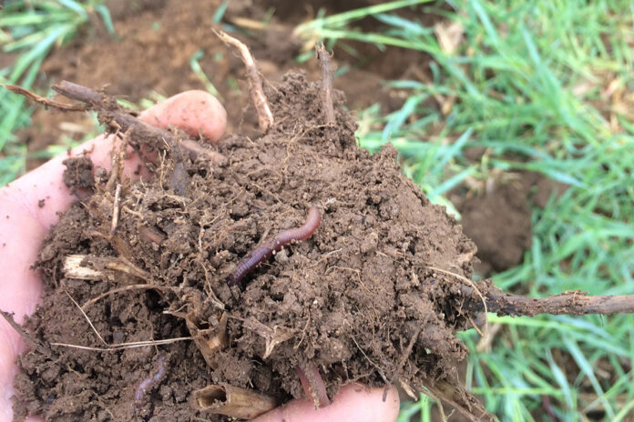
My favorite days at work usually find me standing in a soil pit or with a bucket auger, sifting through the soil looking for clues to help me identify how the soil will perform in various circumstances, whether that is agronomic potential, a construction site, as a pond or just about anything else a person wants to do. These clues could be texture, redoximorphic features, clay content or structure.
Soil and its characteristics have a large impact on almost everything humans do to alter our surroundings. Before starting any project, it’s important to understand what soil is present on a site.
Mapped soils. Fortunately, someone has gone through the trouble of mapping out what soils are where. Most of the United States has been mapped by the Natural Resource Conservation Service, formerly known as the Soil Conservation Service.
Some may remember seeing or talking with soil scientists out mapping during this time. Mapping involved soil scientists observing the geology, landforms, relief, climate and natural vegetation, all while digging holes to study the soil profile.
Through this process, they were able to define soil-vegetation-landscape relationships, allowing them to predict soil type and boundaries. The soil scientists recorded the characteristics of the soils they were mapping, creating soil series and map units.
A soil series is the basic unit of classification given to a group of soils that have similar characteristics. One example is the Wooster series. A map unit is a unique landscape, typically consisting of one or more major soil series and some minor soil series, with an associated slope — an example being Wooster-Chili complex, 2 to 6% slopes.
The soil series of one map unit can occur in another, but in a different pattern, for example Amanda-Wooster complex, 6 to 12% slopes. These map units are what appear on the soil survey maps.
In addition to mapping the soil series, soil scientists interpreted data from soil analyses, field-observed characteristics and soil properties to determine the expected behavior of the soils under different uses.
They were able to develop suitability and limitation ratings for a wide range of activities, including shallow excavation, septic tank absorption fields, embankments, dikes and levees and organic matter depletion. These ratings should be consulted in the planning period of any decision, whether that is before buying a property, installing a pond or breaking out a pasture into row crops.
More information. This information can be found in a few different locations, the first being a county soil survey book. A book was published for each county with the soils mapped and the data analysis in tabular form. Many soil and water conservation districts have these soil survey books available.
The other option is Web Soil Survey, a website that has information for the entire country available. This website gives interpretations, as well as soil maps for the area that is specified. SWCD offices are available to help navigate through this website if assistance is needed.
Having soil information at your fingertips is an immense advantage that can save headaches, time and resources if compatible soils are identified before a project begins.


